Using drones
We developed a framework to use UAV imageries to create a high-resolution Digital Elevation Model (DEM). The DEM is used to project sensor information from the drone, combined them with satelite imageries, and perform geospatial analysis. The DEM is also exported into a photo-realistic 3D model of the area of interests for Virtual Reality Development.
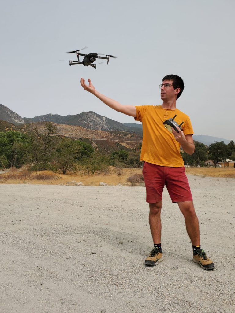
Our FAA-licensed pilots are using a DJI Mavic Pro 2 for aerial imageries, additional sensors (IR, LiDar) can be added upon request.